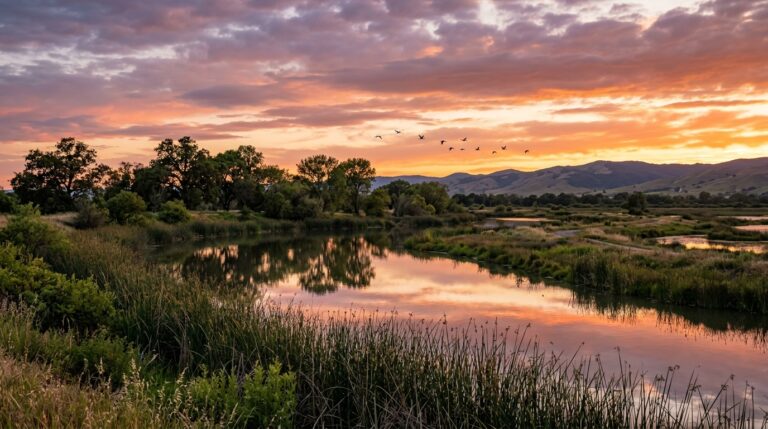
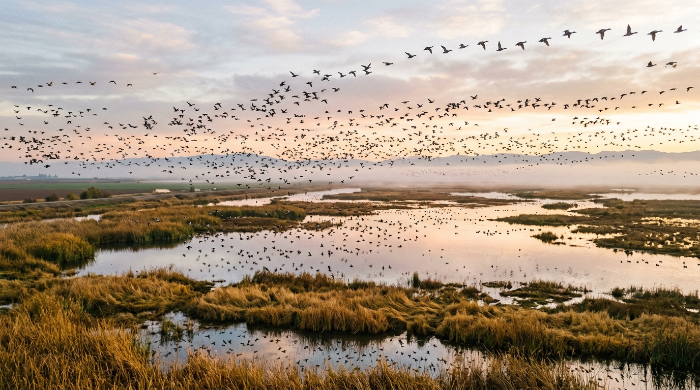
Fall changes the Yolo Bypass Wildlife Area from a broad summer landscape into one of the Sacramento Valley’s most rewarding birding destinations. As seasonal wetlands begin filling and migratory birds move along the Pacific Flyway, the area can hold ducks, geese, shorebirds, wading birds, raptors, blackbirds, and resident species within a short drive of Davis and Sacramento.
The appeal is not limited to experienced birders. Much of the area can be explored slowly by vehicle, allowing beginners, families, and photographers to watch birds without a difficult hike. Shallow water, tule-lined ponds, agricultural fields, levees, and open sky create a constantly changing setting.
Fall also requires careful planning. Hunting seasons can affect public access, unpaved roads may close because of rain or flooding, cellular service is limited, and the entrance gate is locked at sunset. Use this guide as a starting point, then check current conditions through the official California Department of Fish and Wildlife information before leaving. You can also review our Yolo County Outdoors and Wildlife Guide and Plan Your Visit page for broader trip-planning advice.
Why Fall Is One of the Best Times to Bird the Yolo Bypass
How Migration Transforms the Wetlands and Fields
The Yolo Bypass Wildlife Area sits in the Pacific Flyway, a major migration route used by birds moving between northern breeding grounds and wintering areas farther south. During fall, the mix of birds changes week by week. Early migrants may arrive while summer species are still present, creating a period when visitors can encounter waterfowl, shorebirds, raptors, and songbirds in the same outing.
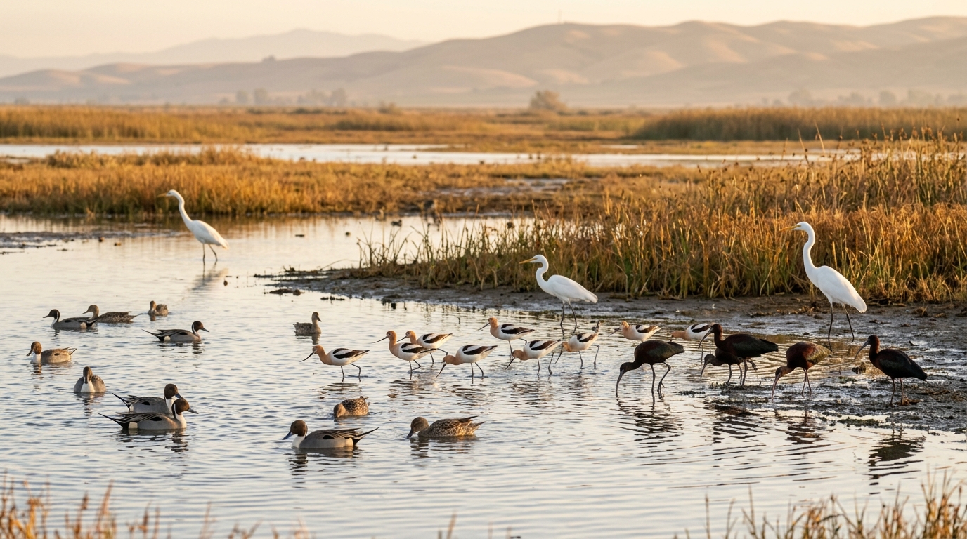
The wildlife area covers roughly 16,600 acres of wetlands, riparian habitat, uplands, and agricultural land. Ducks and coots gather on open water. Egrets, herons, ibis, stilts, and avocets search shallow edges. Harriers fly low over grasslands, while red-tailed hawks watch from elevated perches.
Water levels strongly influence what visitors see. A pond with exposed mud can attract shorebirds, while deeper flooded areas may hold dabbling ducks. Recently worked fields can draw blackbirds, geese, curlews, and raptors. Rather than driving quickly toward one famous viewpoint, scan each change in habitat and listen for activity before moving on.
Birds to Watch for From September Through November
Common fall and winter birds may include northern pintail, northern shoveler, mallard, American coot, red-winged blackbird, northern harrier, red-tailed hawk, great blue heron, great egret, snowy egret, black-necked stilt, American avocet, white-faced ibis, and long-billed curlew. Sandhill cranes may also be seen or heard moving over the bypass from fall through spring.
No checklist is guaranteed on a single visit. Bird numbers and locations respond to migration timing, water management, farming activity, weather, disturbance, and time of day. Beginners should focus first on shape, behavior, habitat, and broad bird groups instead of trying to identify every distant individual. A long-legged bird stalking shallow water is a useful observation even before deciding whether it is an egret, heron, ibis, or stilt.
Bring a regional field guide or an offline bird-identification app because cellular service can be unreliable. A distant photograph can help with later identification, but never block the road or approach wildlife for a closer image.
The Best Time of Day and Weather for Birding
Early morning is usually the easiest time for a focused visit. Temperatures are cooler, wind may be lighter, and bird activity can be strong after sunrise. Soft morning light is also useful for photography. Late afternoon can produce beautiful color and active raptors, but visitors must leave enough time to exit before the sunset gate closure.
Calm days make scanning easier, while light cloud cover can reduce glare. Wind can push birds into sheltered areas and make scopes harder to stabilize. After rain, unpaved roads may become muddy or unsafe. Never drive around a closed gate or through water covering a road.
Dress in layers because fall mornings can feel cold while exposed afternoons warm quickly. The bypass has little shade, so sun protection remains important even later in the year. Check wind, rain, temperature, air quality, and official closure notices close to departure time rather than relying on a forecast viewed several days earlier.
Where and How to Explore the Wildlife Area
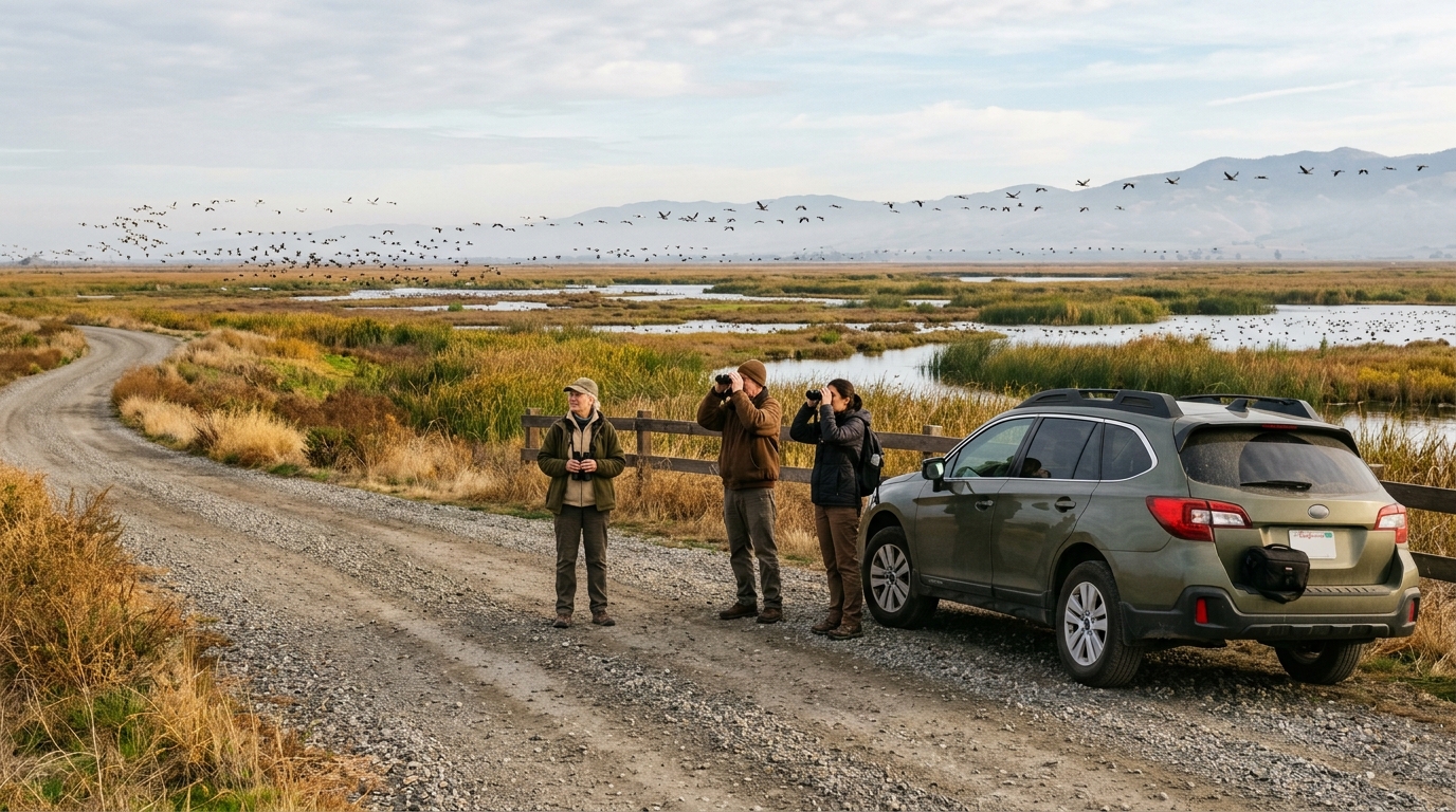
The main wildlife-viewing experience combines an unpaved vehicle route with designated parking areas and hiking options. Driving slowly allows visitors to cover more habitat while using the vehicle as a viewing blind. Birds sometimes tolerate a stopped car better than people walking directly toward them, provided the driver stays on the authorized road and does not create congestion.
Obtain the current wildlife-viewing map before the trip and save it to your phone. A printed copy is even better because reception is limited. The map identifies the auto route, parking locations, year-round trails, seasonal hiking trails, and areas with special restrictions. Conditions and access patterns can change, so posted signs on the property always take priority over an older map or online trip report.
Auto Tour Route Versus Walking Trails
The auto route is the best first choice for most new visitors. Move slowly, keep windows open when conditions allow, and pull into designated parking areas before using binoculars for an extended period. Do not stop where another vehicle cannot safely pass. Keep music low and avoid sudden movements when birds are feeding near the road.
Walking can reveal smaller birds, tracks, plants, insects, and sounds that are easy to miss from a vehicle. However, the landscape is exposed and facilities are minimal. Carry water, know the distance back to the vehicle, and remain on open designated routes. Some trails are seasonal, and others may be unavailable to non-hunting visitors during hunting periods.
A spotting scope is useful for distant ponds, cranes, geese, and shorebirds, but binoculars are sufficient for a first trip. Use lenses that keep wildlife undisturbed. The goal is natural behavior, not making birds flush or abandon feeding areas.
Hunting Season, Closures, and Important Visitor Rules
Fall birding overlaps with hunting activity at the wildlife area. The official map notes that seasonal hiking trails may be closed to the non-hunting public during hunting season, and some areas have specific restrictions for dogs and bicycles. Visitors must follow current signs, check-station instructions, and California Department of Fish and Wildlife rules.
Wear visible clothing, remain in designated public areas, and never assume that a road or trail is open because it was accessible during a previous visit. If the planned route is closed, do not improvise by entering agricultural property, crossing levees, or using a private road. Choose another authorized section or return on a different day.
The wildlife area is generally open from sunrise to sunset and is closed on Christmas Day, but emergency closures can occur because of flooding, storms, wildfire damage, or unsafe road conditions. Review the official Yolo Bypass Wildlife Area visitor page before every trip for current access, maps, rules, and contact information.
Plan a Responsible Fall Birding Day in Yolo County
What to Bring and How to Extend the Trip
A practical birding kit includes binoculars, water, layers, sun protection, insect repellent, closed-toe shoes, a downloaded map, a field guide, and an offline checklist. Bring food only if you can remove every piece of packaging.
Keep expectations flexible. A successful visit does not require a rare bird or perfect photograph. Watch how a harrier hunts, how a flock changes direction, or how shorebirds feed along one waterline. Quiet observation usually produces better encounters than chasing reports.
For a half-day itinerary, begin at sunrise or shortly afterward and allow two to four hours in the wildlife area. After birding, continue to Davis for breakfast, coffee, or a shaded walk. Our Davis community guide can help you choose a nearby stop without adding excessive driving. Visitors planning a full weekend can combine birding with the route in our Yolo County Weekend Itinerary.
Fall visitors may also be interested in the seasonal transition from the summer bat colony to autumn waterfowl migration. Read our Yolo Causeway Bat Flyout Guide to understand how the same bypass landscape supports a different wildlife spectacle earlier in the year.
Guided wetland tours are especially useful for first-time visitors because they add context about migration, flood management, agriculture, native plants, and habitat restoration. Yolo Basin Foundation and the California Department of Fish and Wildlife have offered Wildlife Area tours on third Sundays from October through June, subject to registration, road conditions, flooding, and schedule changes. Confirm the current calendar before planning around a tour date.
Responsible birding at the Yolo Bypass is simple: stay on open routes, keep distance from wildlife, follow seasonal restrictions, carry out everything you bring, and leave before the gate closes. With those basics in place, a fall morning can offer one of the most accessible and rewarding nature experiences in Yolo County.