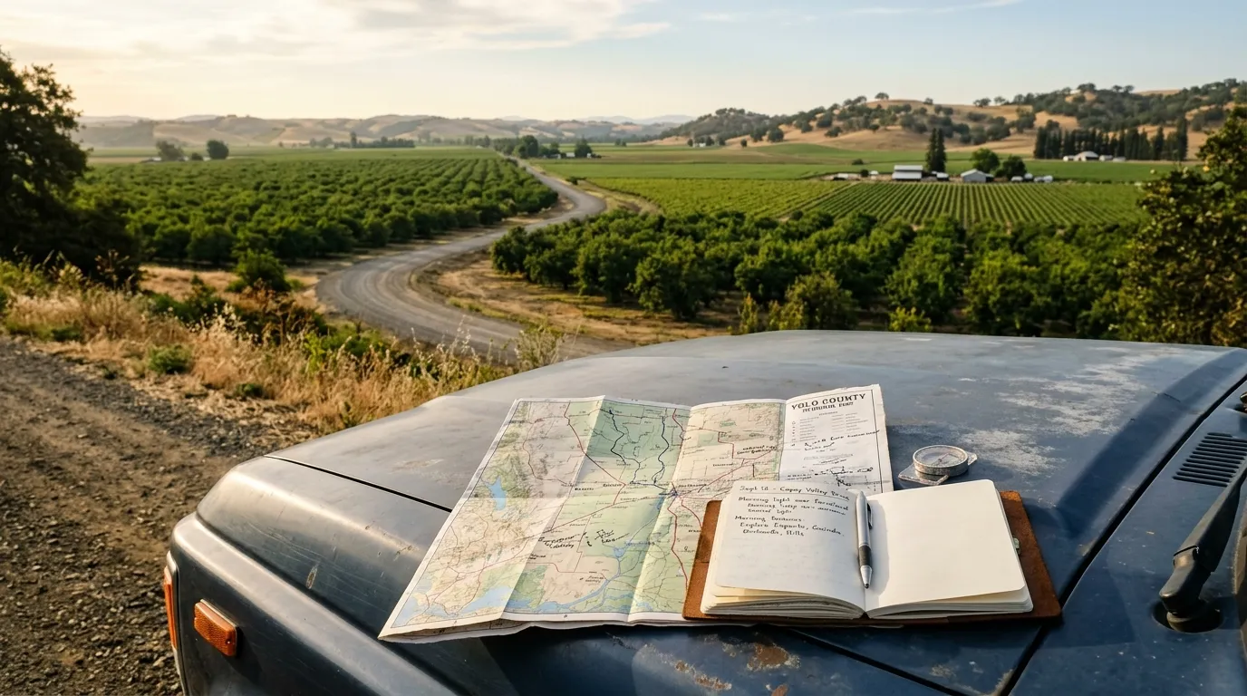
Build the practical plan before choosing every stop.
Yolo County travel is straightforward when you account for distances, heat, rural-road conditions, event schedules and seasonal access. Use this page as the planning layer beneath the editorial guides.
Decide whether Davis, Woodland, Winters or West Sacramento best matches your priorities and arrival route.
02
Check the date
Review weather, seasonal events, market schedules, closures and reservation requirements.
03
Build travel margin
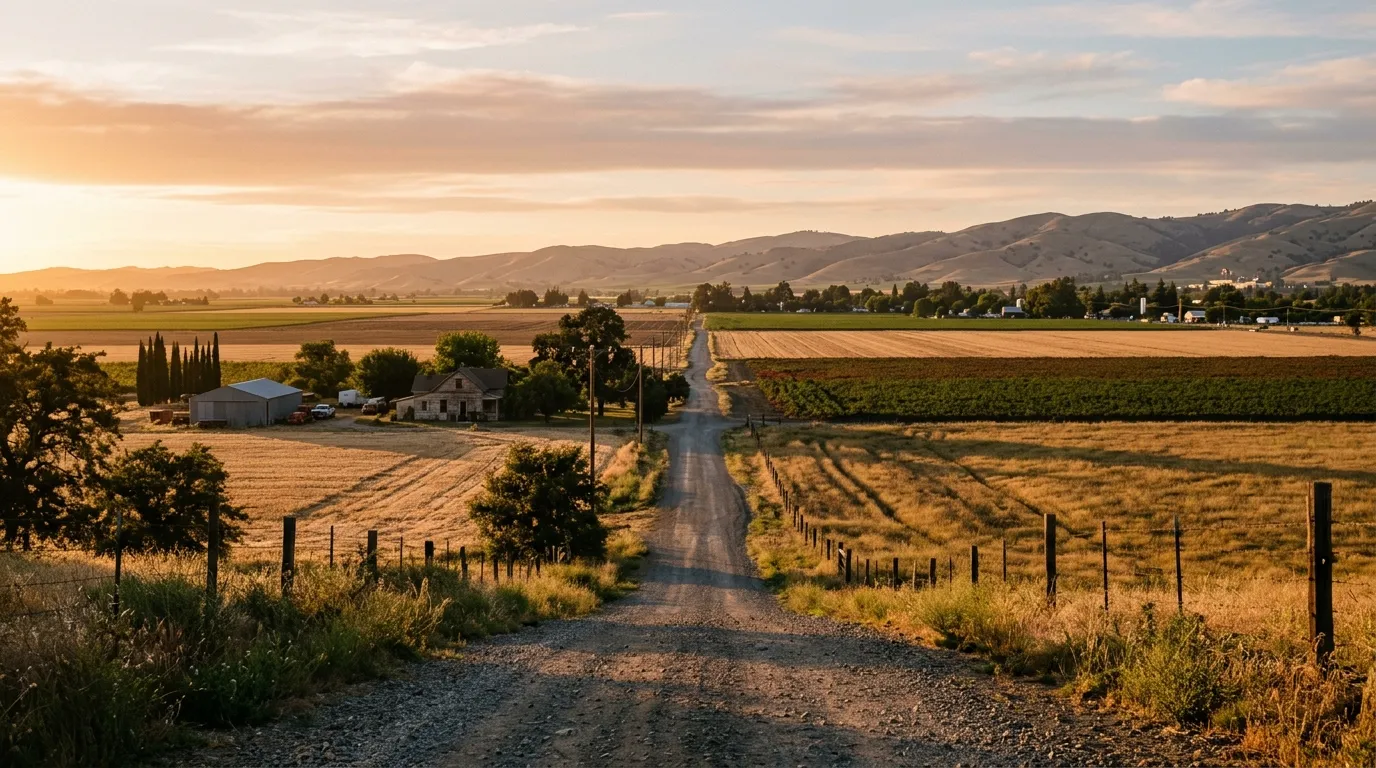
Allow time for rural roads, parking, meals, heat breaks and changes in access.
GETTING AROUND
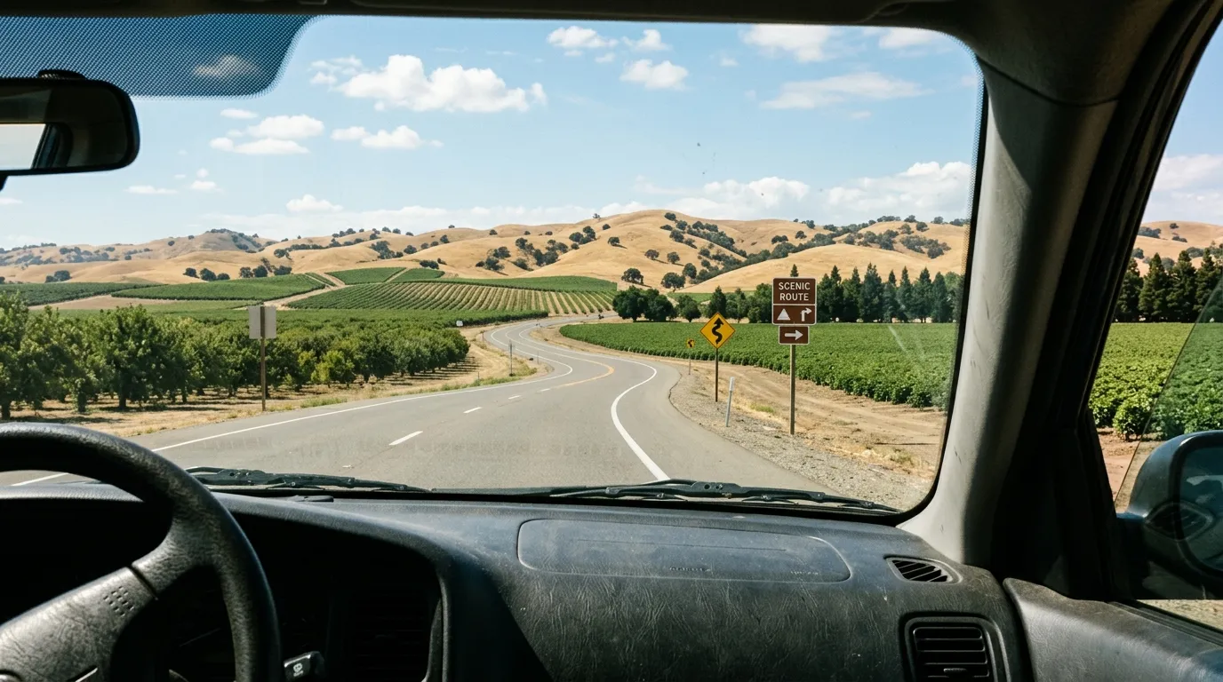
A car provides the most flexibility, but not every day needs to be car-first.
Use driving to connect communities, then switch to walking or cycling where the local environment supports it. Rural stops require more caution and planning.
Driving
Best for connecting communities, farm-country routes and outdoor areas.
Cycling
Especially relevant in Davis, with route and heat planning still required.
Walking
Useful within compact downtowns and riverfront or campus-adjacent areas.
Transit and rides
Availability varies by location and time. Confirm current routes and service areas.
WHEN TO VISIT
Every season changes the balance of the trip.
Use weather and daylight as planning inputs. Avoid treating a general climate description as a current forecast.
Spring
Mild conditions, active landscapes and strong potential for outdoor and market-focused days.
Summer
Hot afternoons make early starts, hydration and indoor breaks especially important.
Autumn
Harvest atmosphere, warm color and comfortable combinations of food and outdoor stops.
Winter
Cooler, quieter travel with possible rain, wetland changes and schedule-dependent attractions.
A REALISTIC DAILY RHYTHM
Use mornings for movement and afternoons for flexibility.
This structure reduces heat exposure, protects time for meals and makes it easier to adjust when a stop takes longer than expected.
Morning
Outdoor activity, markets, walking, cycling and high-priority stops.
Midday
Lunch, shaded attractions, driving transitions and flexible indoor time.
Late afternoon and evening
Small-town dining, riverfront light, tasting appointments or the drive back.
VERIFY BEFORE DEPARTURE
Use official sources for information that can change.
Editorial guides help organize the trip, but agencies, venues and operators control current hours, closures, permits, fees, reservations and safety rules.
01
Weather and hazards
Check current forecasts, heat, wind, rain, flooding, smoke and air quality.
02
Access and operating hours
Confirm park, wildlife area, market, farm, winery, museum and event information.
03
Transportation and rules
Confirm road conditions, transit schedules, parking, permits and activity-specific restrictions.
KEEP EXPLORING
Continue planning beyond the trip-planning guide.
Weekend Itinerary
A clear two-day route through towns, food stops and outdoor landscapes.