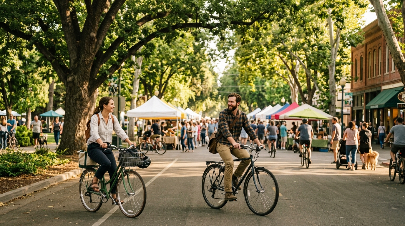
Davis is one of the easiest California cities to enjoy without driving. The train station sits beside downtown, bicycle routes connect neighborhoods and the UC Davis campus, and many of the city’s most useful weekend stops are close enough to combine by bike, bus, or on foot. A car-free trip also fits the character of Davis: slower movement makes it easier to notice public art, shaded streets, neighborhood greenbelts, local food, and the everyday bicycle culture that distinguishes the city from a conventional road-trip stop.
This itinerary is designed for a Friday-evening or Saturday-morning arrival and a Sunday departure. It centers on downtown Davis, Central Park, the UC Davis Arboretum and Public Garden, campus routes, and selected greenbelt connections. Exact transit schedules, market hours, weather, construction, and event access can change, so verify the details shortly before travel. For broader county planning, review our Davis community guide, Plan Your Visit page, and Yolo County Weekend Itinerary.
Why Davis Works So Well for a Car-Free Weekend
Arrive by Train and Build the Trip Around Short Connections
The Davis Amtrak station is positioned in the heart of downtown, which removes one of the biggest obstacles to a car-free weekend: the distance between arrival and the first useful stop. From the station, visitors can walk to restaurants, cafes, shops, Central Park, and the main farmers market area without arranging a transfer. Hotels and short-term accommodations vary in distance, so check the walking or cycling route before booking rather than assuming every Davis address is equally central.
Capitol Corridor trains connect Davis with Sacramento, the East Bay, and San Jose-area stations. Travelers bringing a bicycle should review the current Capitol Corridor bicycle guidance. Bike storage is limited, passengers are responsible for loading and securing their bicycles, and train crews may direct riders to a specific storage location. Walk bicycles on station platforms and leave enough time to board without rushing.
A bicycle is the most flexible way to connect the weekend, but it is not mandatory for every visitor. Downtown and parts of the campus can be explored on foot, while Unitrans can serve as a backup for longer distances, hot weather, fatigue, or a change in plans. Because Unitrans introduced route and schedule changes in August 2026, use its current route planner instead of relying on an old screenshot or previous trip.
Use the 2026 Davis Bike Map Before Choosing a Route
The City of Davis released the eighth edition of its bicycle map in 2026. It shows bike lanes, shared-use paths, off-street connections, recommended routes, and the wider network that makes Davis practical for visitors who do not know the streets. Download the official Davis Bike Map before arrival and save an offline copy.
Do not choose a route only because it appears shortest in a general navigation app. A slightly longer greenbelt or shared-use path may be calmer and more enjoyable than a direct street with heavier traffic. Pay attention to underpasses, railroad crossings, roundabouts, one-way sections, temporary construction, and campus dismount zones. Follow posted signs even when they conflict with an older digital route.
Visitors arranging a rental should confirm weekend opening hours, helmet availability, lock type, return rules, and whether lights are included. A properly fitted helmet, working brakes, inflated tires, and front and rear lights matter more than getting a high-performance bicycle. Bring a phone mount only if it allows safe navigation without constant screen handling.
Use Unitrans as a Backup, Not an Afterthought
A strong car-free plan includes a second transportation option. Unitrans routes connect downtown, the UC Davis campus, and many Davis neighborhoods, but service frequency can vary by line, day, academic calendar, and season. Review the current Unitrans routes and schedules on the day of travel, especially during summer, university breaks, holidays, or major events.
Transit is useful when afternoon heat makes cycling uncomfortable or when one traveler needs a lower-impact return. It can also help if the group separates temporarily. Before boarding, confirm the fare or accepted pass, the final service time, and the correct stop for your accommodation. Do not assume a weekday route operates at the same frequency on Saturday or Sunday.
Walking remains the simplest option within downtown. Park the bicycle at a secure rack, lock the frame and a wheel, remove valuables, and explore on foot. Davis has extensive bicycle parking, but availability does not eliminate theft risk. Photograph the bike, record the serial number when possible, and never leave bags, cameras, or purchases unattended.
Follow a Saturday Route Through the Market, Downtown, and Campus
Saturday provides the most natural structure for a first car-free visit because the year-round Davis Farmers Market operates in Central Park from 8 a.m. to 1 p.m. Begin early enough to enjoy cooler temperatures and avoid building the entire morning around the busiest market period. From the train station or downtown accommodation, Central Park is an easy first destination by foot or bicycle.
Start at the Davis Farmers Market and Downtown
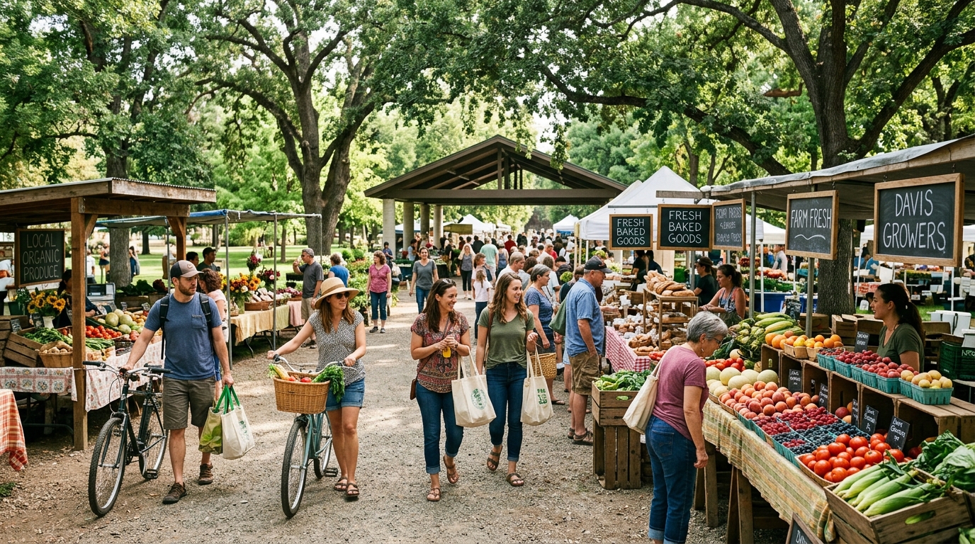
The Davis Farmers Market combines produce, farm products, baked goods, prepared food, coffee, and community activity. Bring a reusable bag, but keep purchases realistic if everything must travel by bicycle or train. Heat-sensitive produce, flowers, and glass containers can become inconvenient during a long day outdoors.
After the market, walk through downtown instead of immediately riding away. This is the easiest time to browse local shops, stop for coffee, and choose lunch. A car-free itinerary should create breathing room rather than replacing driving with an equally rushed list of bicycle stops. Lock the bike properly and spend an hour moving at pedestrian speed.
Wednesday visitors can adapt the same plan around the market’s seasonal schedule. From September through March, the Wednesday market generally operates in the afternoon; from April through August, Picnic in the Park extends into the evening with food and entertainment. Verify the current calendar because special events, holidays, weather, or operational changes can affect the program.
Ride to the UC Davis Arboretum and Connect With the Greenbelts
In the afternoon, continue toward the UC Davis Arboretum and Public Garden. The gardens and landscapes are free to visit and generally open every day, making the area a flexible anchor when museum, event, or business hours do not align. Use the official Arboretum visitor information for current maps, access notes, and visitor guidance.
Move slowly around pedestrians and respect any bicycle restrictions or dismount areas. The Arboretum is better experienced as a landscape than as a speed route. Pause near Lake Spafford, explore plant collections, and use shaded areas for a water break. In hot weather, shorten the campus loop and return downtown before the most exposed part of the afternoon.
From campus, experienced riders can use the city bike map to connect with selected greenbelt and shared-use paths. These routes reveal a residential side of Davis that visitors miss when they remain only downtown. Avoid turning the ride into a mileage challenge. A comfortable loop with time for shade, water, and navigation is more useful than crossing the entire city.
Build the Rest of the Weekend Without Overplanning
Use Sunday for a Slower Loop and a Flexible Departure
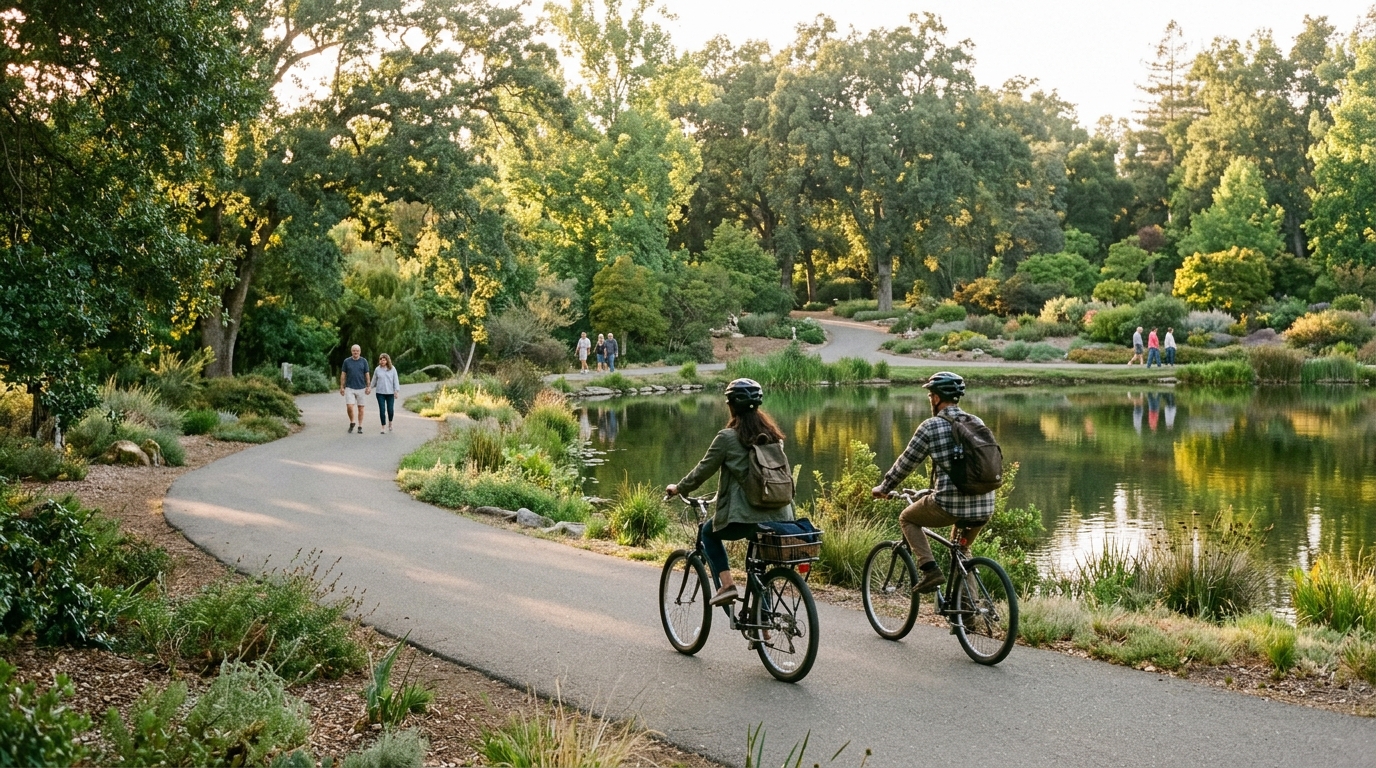
Keep Sunday simpler than Saturday. Begin with breakfast downtown, then choose one activity based on weather and energy: a short greenbelt ride, another Arboretum walk, a historic bicycle route, or relaxed campus exploration. The City of Davis bike map identifies historical points and useful connections, allowing visitors to create a loop without repeating every Saturday stop.
Leave a generous buffer before the train. Return rental equipment according to the provider’s rules, collect stored luggage, refill water, and arrive at the station early enough to handle the bicycle calmly. Train times and bike capacity can change, so check the current service status rather than planning around memory.
Summer visitors should treat heat as a route-setting factor. Ride early, use shaded paths, carry water, and replace a long afternoon loop with Unitrans or indoor time when needed. During rain, shared-use paths and underpasses may hold water or debris. Darkness also arrives earlier in fall and winter, making working lights essential.
A car-free Davis weekend can also connect with the rest of Yolo County, but that requires more planning. Rural farms, wineries, wildlife areas, and smaller communities are not all practical by bicycle or local bus. Use our Food, Farms and Wine Guide and Outdoors and Wildlife Guide to identify experiences that fit a separate trip or an arranged transportation plan.
The strongest version of this weekend is not the one with the most stops. It is the one that uses Davis’s transportation network to reduce friction: arrive near downtown, follow the official bike map, use transit as backup, visit the market when scheduled, and leave time for the Arboretum and greenbelts. That approach turns car-free travel from a limitation into the central experience of the city.